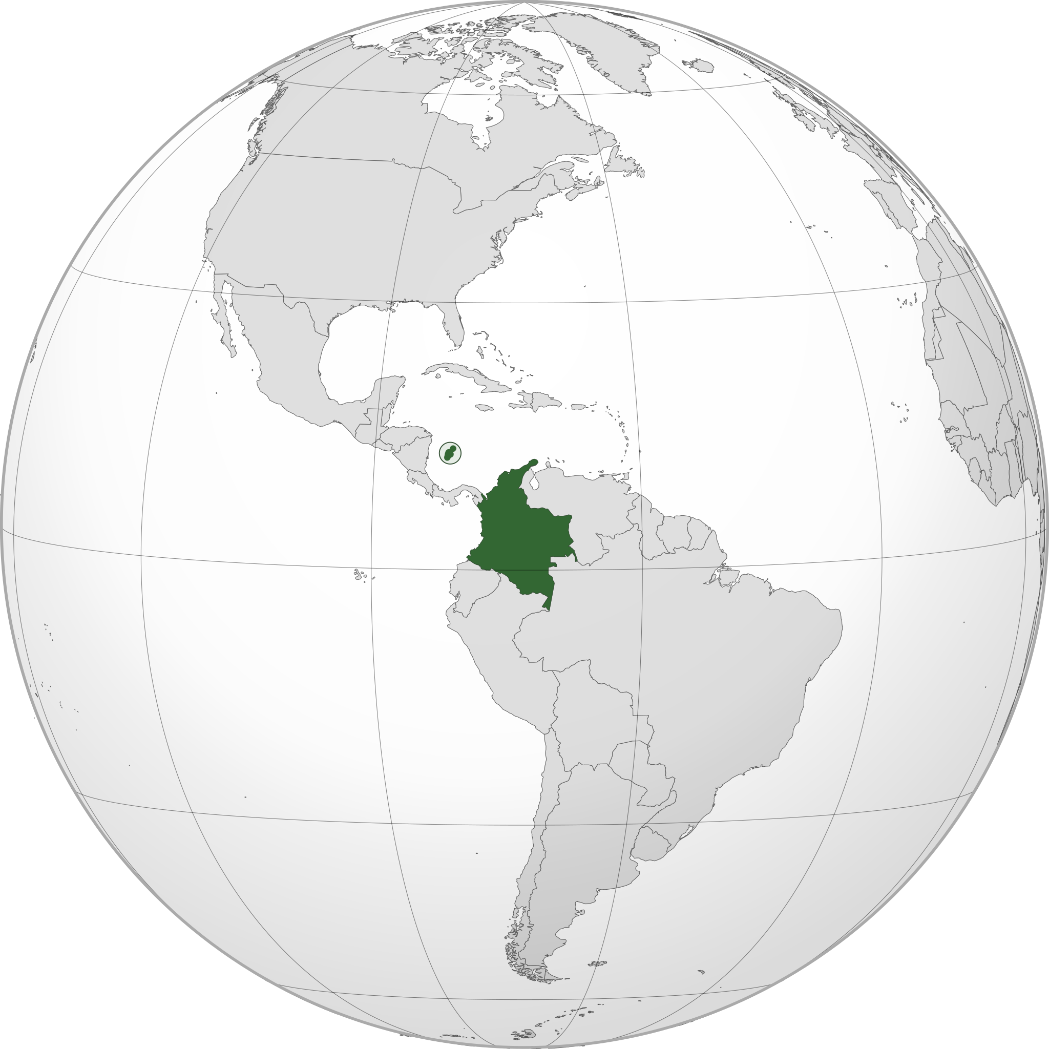
File:COL orthographic (San Andrés and Providencia special).svg

Size of this PNG preview of this SVG file: 550 × 550 pixel. Adda resolution: 240 × 240 pixel | 480 × 480 pixel | 768 × 768 pixel | 1,024 × 1,024 pixel | 2,048 × 2,048 pixel.
Original file (SVG fail, naminali 550 × 550 pixl, fail saiz: 1.09 MB)
.svg)
Somari
| Diskripshan | |
| Diet | |
| Suos | Uon wok |
| Aata | Addicted04 |
| SVG genesis |
Laisnsin
I, the copyright holder of this work, hereby publish it under the following license:
Dis fail laisn anda di Creative Commons Attribution-Share Alike 3.0 Anpuotid laisn.
- Yu frii:
- fi shier – fi kapi, dischribiut ah chranzmit di wok
- fi riimix – fi adap di wok
- Anda di falarin kandishan:
- attribution – Yu fi achribiut di wok di wie spesifai bai di aata ar laisnsa (bot no ina no wie we sojes se deh indaas yu ar yu yuus a di wok).
- shier-shier siem wie – Ef yu alta, chansfaam, ar bil pah dis wok, yu kiah dischibiut di wok we rizolt onggl anda di siem ar simla laisn laka dis wan.
File history
Ef yuh waan see wah di file look like dem time deh, click pon dat date/time.
| Date/Time | Thumbnail | Size | User | Comment | |
|---|---|---|---|---|---|
| lates' | 01:55, 6 January 2015 | | 550 × 550 (1.09 MB) | Denniss | Reverted to version as of 22:05, 19 July 2014 |
| 23:52, 5 January 2015 |  | 470 × 450 (86 KB) | Mondolkiri1 | Mapa da Colômbia na UNASUL / Mapa de Colombia en UNASUR | |
| 17:05, 19 July 2014 |  | 550 × 550 (1.09 MB) | Roboting | El Archipiélago de San Andrés, Providencia y Santa Catalina: Son un territorio oficial de Colombia. | |
| 10:50, 15 January 2014 |  | 550 × 550 (1.09 MB) | Addicted04 | User created page with UploadWizard |
Weh part di file use
Da page yah use dis file:
Weh part di file deh
Dis ya file use inna dem ya wiki:
- Weh part it deh pon ami.wikipedia.org
- Weh part it deh pon ang.wikipedia.org
- Weh part it deh pon arc.wikipedia.org
- Weh part it deh pon ar.wikipedia.org
- كولومبيا
- بوابة:كولومبيا
- بوابة:كولومبيا/واجهة
- مستخدم:جار الله/قائمة صور مقالات العلاقات الثنائية
- معاملة المثليين في كولومبيا
- العلاقات الأمريكية الكولومبية
- العلاقات الأنغولية الكولومبية
- العلاقات الكورية الجنوبية الكولومبية
- العلاقات الإريترية الكولومبية
- العلاقات السويسرية الكولومبية
- العلاقات الألمانية الكولومبية
- العلاقات الكولومبية الليختنشتانية
- العلاقات البوليفية الكولومبية
- العلاقات الكولومبية الموزمبيقية
- العلاقات الألبانية الكولومبية
- العلاقات البلجيكية الكولومبية
- العلاقات الإثيوبية الكولومبية
- العلاقات البيلاروسية الكولومبية
- العلاقات الطاجيكستانية الكولومبية
- العلاقات الروسية الكولومبية
- العلاقات الرومانية الكولومبية
- العلاقات الأرجنتينية الكولومبية
- العلاقات الغامبية الكولومبية
- العلاقات القبرصية الكولومبية
- العلاقات السيراليونية الكولومبية
- العلاقات الكولومبية النيبالية
- العلاقات الكولومبية الليبيرية
- العلاقات التشيكية الكولومبية
- العلاقات الكولومبية الميانمارية
- العلاقات العراقية الكولومبية
- العلاقات البريطانية الكولومبية
- العلاقات الكندية الكولومبية
- العلاقات الكوبية الكولومبية
- العلاقات الكورية الشمالية الكولومبية
- العلاقات الكوستاريكية الكولومبية
- العلاقات الكولومبية المالية
- العلاقات الكولومبية النيجيرية
- العلاقات الكولومبية الناوروية
- العلاقات الكولومبية اللاتفية
- العلاقات الكولومبية اللوكسمبورغية
- العلاقات الكولومبية المصرية
- العلاقات الكولومبية الهندوراسية
- العلاقات الكولومبية الليسوتوية
- العلاقات الكولومبية النيكاراغوية
- العلاقات الكولومبية المولدوفية
- العلاقات الكولومبية المالاوية
- العلاقات الكولومبية الكينية
Vyuu more global usage a dis fail.
.svg)
.svg)