File:CRI orthographic.svg

Size of this PNG preview of this SVG file: 550 × 550 pixel. Adda resolution: 240 × 240 pixel | 480 × 480 pixel | 768 × 768 pixel | 1,024 × 1,024 pixel | 2,048 × 2,048 pixel.
Original file (SVG fail, naminali 550 × 550 pixl, fail saiz: 984 KB)
Somari
| Diskripshan |
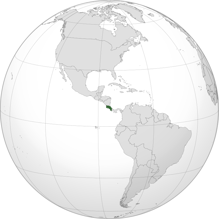
English: Orthographic map of Costa Rica centered at 9° N, 84° W.
Official territory.
Claimed territories. Español: Mapa ortogonal de Costa Rica, centrada en 9° N, 84° W.
Territorio oficial.
Territorios reclamados. |
| Diet | |
| Suos |
Uon wok with Natural Earth Data This W3C-unspecified vector image was created with Inkscape . |
| Aata | Addicted04 |
Laisnsin
I, the copyright holder of this work, hereby publish it under the following license:
Dis fail laisn anda di Creative Commons Attribution-Share Alike 3.0 Anpuotid laisn.
- Yu frii:
- fi shier – fi kapi, dischribiut ah chranzmit di wok
- fi riimix – fi adap di wok
- Anda di falarin kandishan:
- attribution – Yu fi achribiut di wok di wie spesifai bai di aata ar laisnsa (bot no ina no wie we sojes se deh indaas yu ar yu yuus a di wok).
- shier-shier siem wie – Ef yu alta, chansfaam, ar bil pah dis wok, yu kiah dischibiut di wok we rizolt onggl anda di siem ar simla laisn laka dis wan.
File history
Ef yuh waan see wah di file look like dem time deh, click pon dat date/time.
| Date/Time | Thumbnail | Size | User | Comment | |
|---|---|---|---|---|---|
| lates' | 14:42, 12 July 2012 | | 550 × 550 (984 KB) | Addicted04 | fixing |
| 14:40, 12 July 2012 |  | 550 × 550 (908 KB) | Addicted04 |
Weh part di file use
Da page yah use dis file:
Weh part di file deh
Dis ya file use inna dem ya wiki:
- Weh part it deh pon avk.wikipedia.org
- Weh part it deh pon cdo.wikipedia.org
- Weh part it deh pon ceb.wikipedia.org
- Weh part it deh pon ckb.wikipedia.org
- Weh part it deh pon en.wikipedia.org
- Weh part it deh pon es.wikipedia.org
- Weh part it deh pon fi.wikipedia.org
- Weh part it deh pon fr.wikipedia.org
- Weh part it deh pon gcr.wikipedia.org
- Weh part it deh pon gu.wikipedia.org
- Weh part it deh pon hak.wikipedia.org
- Weh part it deh pon he.wikipedia.org
- Weh part it deh pon ie.wikipedia.org
- Weh part it deh pon incubator.wikimedia.org
- Weh part it deh pon is.wikipedia.org
- Weh part it deh pon ko.wikipedia.org
- Weh part it deh pon lad.wikipedia.org
- Weh part it deh pon lfn.wikipedia.org
- Weh part it deh pon lo.wikipedia.org
- Weh part it deh pon mn.wikipedia.org
- Weh part it deh pon mt.wikipedia.org
- Weh part it deh pon mwl.wikipedia.org
- Weh part it deh pon my.wikipedia.org
- Weh part it deh pon oc.wikipedia.org
- Weh part it deh pon pcd.wikipedia.org
- Weh part it deh pon pl.wikipedia.org
- Weh part it deh pon pl.wiktionary.org
- Weh part it deh pon pt.wikipedia.org
- Weh part it deh pon ro.wikipedia.org
- Weh part it deh pon sat.wikipedia.org
- Weh part it deh pon sc.wikipedia.org
- Weh part it deh pon sd.wikipedia.org
- Weh part it deh pon simple.wikipedia.org
- Weh part it deh pon sl.wikipedia.org
- Weh part it deh pon tay.wikipedia.org
- Weh part it deh pon th.wikipedia.org
- Weh part it deh pon tl.wikipedia.org
- Weh part it deh pon tr.wikipedia.org
- Weh part it deh pon uk.wikipedia.org
- Weh part it deh pon vi.wikivoyage.org
- Weh part it deh pon zh-min-nan.wikipedia.org