File:Catedral Santiago Chile.jpg
Size a dis ya preview: 800 × 533 pixel Adda resolution: 320 × 213 pixel | 640 × 427 pixel | 1,024 × 683 pixel | 1,280 × 853 pixel | 2,560 × 1,707 pixel | 4,752 × 3,168 pixel.
Original file (4,752 × 3,168 pixel, size a di file: 7.92 MB, MIME type: image/jpeg)
Somari
|
This is a photo of a national monument in Chile: 210
|
| Diskripshan |
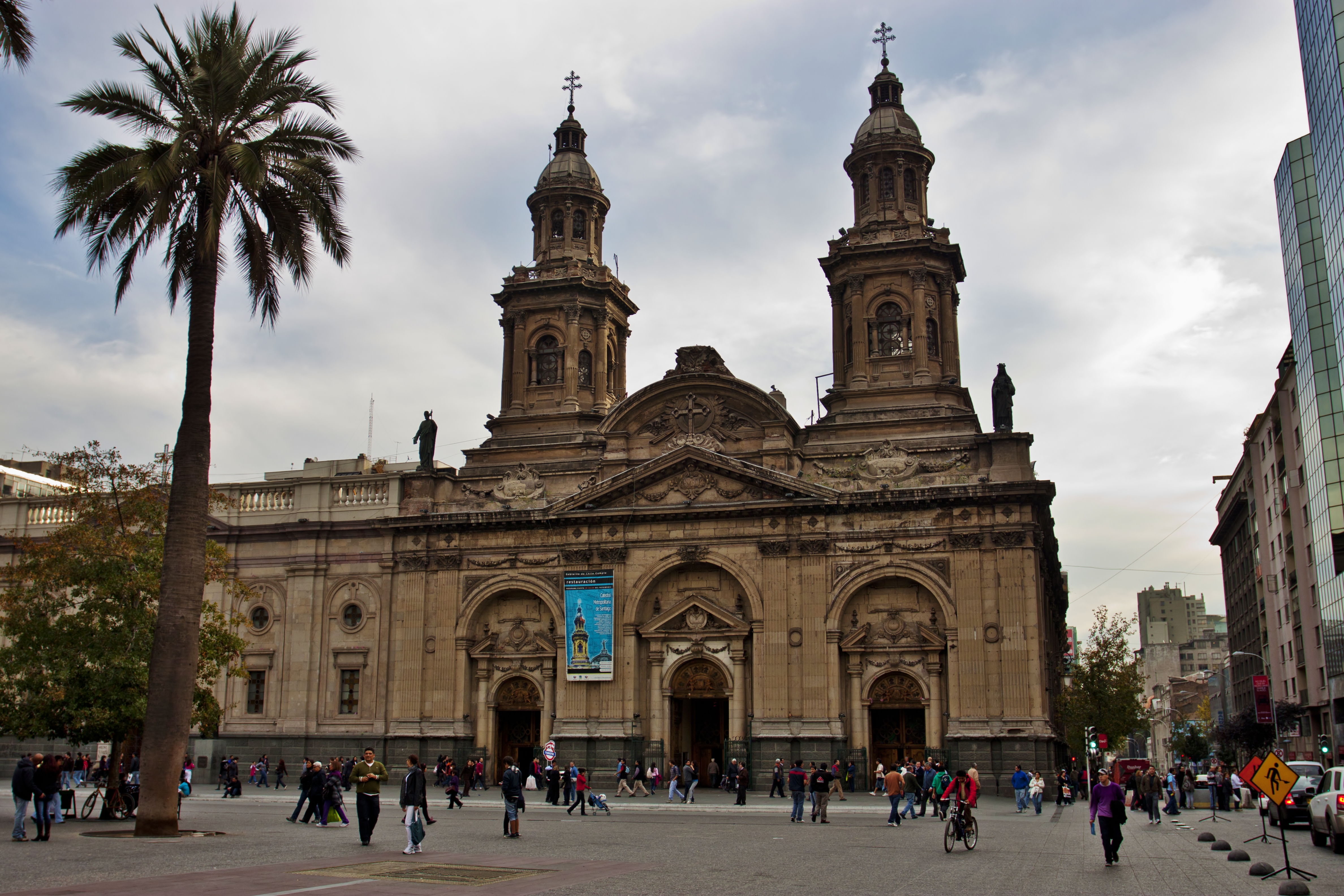
Catedral Metropolitana de Santiago.
|
| Diet | |
| Suos | IMG_1584 |
| Aata | Nellu Mazilu from Mobile, Terra, Sol, Milky Way |
| Camera location | | View this and other nearby images on: OpenStreetMap |
|---|
Laisnsin
This file is licensed under the Creative Commons Attribution 2.0 Generic license.
- Yu frii:
- fi shier – fi kapi, dischribiut ah chranzmit di wok
- fi riimix – fi adap di wok
- Anda di falarin kandishan:
- attribution – Yu fi achribiut di wok di wie spesifai bai di aata ar laisnsa (bot no ina no wie we sojes se deh indaas yu ar yu yuus a di wok).
| This image was originally posted to Flickr by Jack Zalium at https://www.flickr.com/photos/7666975@N03/5730238859. It was reviewed on 29 May 2011 by FlickreviewR and was confirmed to be licensed under the terms of the cc-by-2.0. |
File history
Ef yuh waan see wah di file look like dem time deh, click pon dat date/time.
| Date/Time | Thumbnail | Size | User | Comment | |
|---|---|---|---|---|---|
| lates' | 21:49, 28 May 2011 | | 4,752 × 3,168 (7.92 MB) | Carlos yo | {{Information |Description=Taken at Latitude/Longitude:-33.444126/-70.650750. 1.56 km North-East Santiago Región Metropolitana Chile [http://www.geonames.org/maps/google_-33.444126_-70.650750.html (Map link)] |Source=[http://www.flickr.com/photos/kaiban/ |
Weh part di file use
No piej no de we lingk dis fail.
Weh part di file deh
Dis ya file use inna dem ya wiki:
- Weh part it deh pon en.wikipedia.org
- Weh part it deh pon id.wikipedia.org
- Weh part it deh pon it.wikipedia.org
- Weh part it deh pon ru.wikipedia.org