File:Locatie Middellandse Zee.PNG
Size a dis ya preview: 800 × 489 pixel Adda resolution: 320 × 195 pixel | 640 × 391 pixel | 902 × 551 pixel.
Original file (902 × 551 pixel, size a di file: 33 KB, MIME type: image/png)
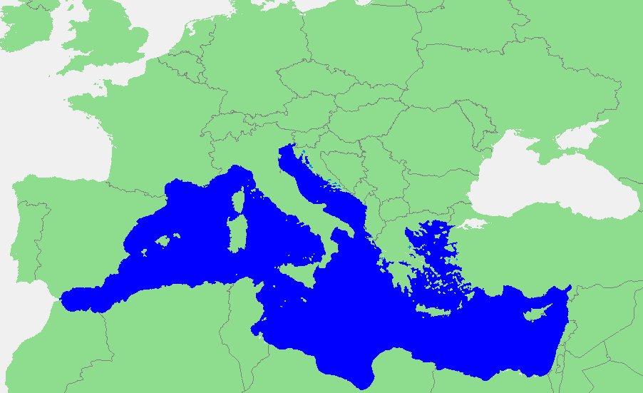
| Diskripshan |
Nederlands: Locatie Middellandse Zee
中文:地中海地图 |
||||
| Suos | own work based on PD map | ||||
| Aata | edited by M.Minderhoud | ||||
| Pomishan (Fi riyuuz dis fail) |
|
File history
Ef yuh waan see wah di file look like dem time deh, click pon dat date/time.
| Date/Time | Thumbnail | Size | User | Comment | |
|---|---|---|---|---|---|
| lates' | 13:21, 12 September 2006 | | 902 × 551 (33 KB) | Michiel1972 | {{Information |Description=In dutch: {{subst:PAGENAME}} |Source= own work based on PD map |Date= |Author= edited by M.Minderhoud |Permission= {{PD-Demis}} |other_versions= }} category:Locator maps of seas |
Weh part di file use
Da page yah use dis file:
Weh part di file deh
Dis ya file use inna dem ya wiki:
- Weh part it deh pon ang.wikipedia.org
- Weh part it deh pon an.wikipedia.org
- Weh part it deh pon avk.wikipedia.org
- Weh part it deh pon awa.wikipedia.org
- Weh part it deh pon bat-smg.wikipedia.org
- Weh part it deh pon be-tarask.wikipedia.org
- Weh part it deh pon bm.wikipedia.org
- Weh part it deh pon ca.wikipedia.org
- Weh part it deh pon cbk-zam.wikipedia.org
- Weh part it deh pon cdo.wikipedia.org
- Weh part it deh pon ceb.wikipedia.org
- Weh part it deh pon crh.wikipedia.org
- Weh part it deh pon csb.wikipedia.org
- Weh part it deh pon de.wikipedia.org
- Weh part it deh pon el.wikipedia.org
- Weh part it deh pon en.wikipedia.org
- Weh part it deh pon eo.wikipedia.org
- Weh part it deh pon es.wikipedia.org
- Weh part it deh pon et.wikipedia.org
- Weh part it deh pon fa.wikipedia.org
- Weh part it deh pon fiu-vro.wikipedia.org
- Weh part it deh pon fr.wikipedia.org
Vyuu more global usage a dis fail.